
Each year for the past 21 years, more than 100 volunteers have worked mapping the 300 miles of the San Pedro River and its key tributaries. They map the river to record where there is water and where there is not.
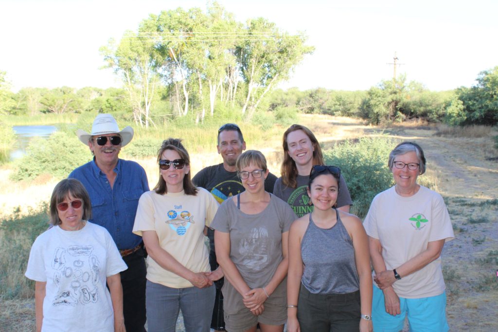
This is a group effort involving The Nature Conservancy and its partners including: Bureau of Land Management, National Park Service, Arizona Game & Fish, Community Watershed Alliance of Benson, Cascabel Volunteers, and Mexican partners and landowners and volunteers.
For these volunteers it is a labor of love, braving the 100 plus degree temperatures to help protect the threatened river and the environment it provides for migratory birds and diverse wildlife.
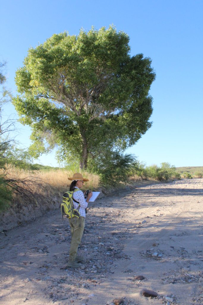
On Saturday, June 15, volunteers wet/dry mapped the lower San Pedro River from the 7B Ranch area to where the San Pedro River meets the Gila River including tributaries such as Aravaipa Creek. These “citizen scientists” use GPS technology and cameras to record the mapping data.
In 2018, 23 percent of the river had surface water, the lowest number of wet river miles recorded in the past 20 years. For the past 20 years, the percent of wet river miles has ranged from 23 to 45. It is hoped that this year’s rains and snowfall will show an increase in surface water. The mapping information along with United States Geological Survey data has helped The Nature Conservancy and its partners design an innovative series of water replenishment projects to capture stormwater and effluent and put it back into the underground aquifer.
The importance of water conservation is paramount these days. Thank you to The Nature Conservancy, partner groups and the volunteers. If you would like to learn more about The Nature Conservancy or how you can volunteer, visit www.nature.org.
